



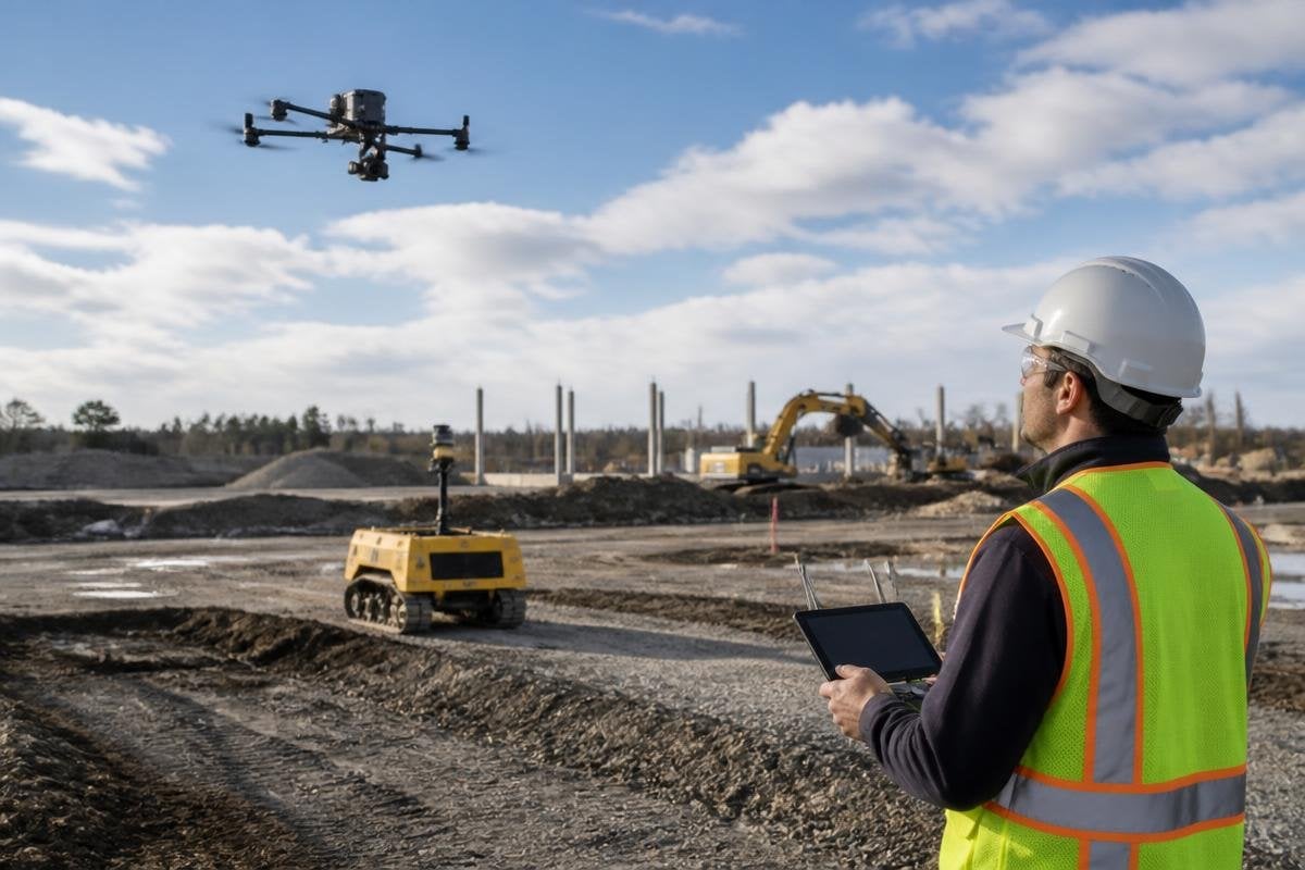
Before a ground robot moves a wheel, a drone can map a construction site. Its cameras, LiDAR, and positioning systems turn a changing work area into data that machines can use for planning and checks.
For a site manager, the value is practical: fewer blind spots, better records, and a safer way to inspect areas that are hard to reach.
Quick read
- Drones create aerial maps that help robots plan routes around new work and stored materials.
- LiDAR and RGB cameras record different details, from ground shape to visible defects.
- Drone data only helps when teams set clear flight rules, check accuracy, and connect the files to site plans.
Mapping the site for ground robots
Construction sites change each day. A trench may cut across a route, a crane may block a path, and stacks of material may sit where a robot drove the day before.
From above, the drone can collect images or LiDAR scans, then software combines those records into a 3D site model. LiDAR measures distance with laser pulses, while an RGB camera records normal color images. The two data types answer different questions.
The map can show where a mobile robot may travel and where it needs a new route. It can also mark open edges, piles, temporary walls, and other objects that may not appear in an older building plan. That matters when an autonomous system must plan around a site that changes faster than its fixed map.
Many construction teams also use real-time kinematic GPS, known as RTK, to improve the drone’s position data. RTK uses correction signals to place recorded points more accurately than ordinary GPS. The exact result depends on the site, the equipment, and the checks made after each flight.
Checking work without sending people into every area
The same flight can support inspection. A drone may record a roof, façade, upper structure, or deep excavation while workers remain on the ground.
The images can then be compared with drawings, earlier surveys, or the latest site plan. That comparison can show whether a section is in the expected place or whether work has changed since the last visit. It can also give a project team a dated record of site conditions, which helps when several contractors share the same area.
The drone does not decide that a structure is safe. A person with the right training still needs to review the evidence and decide what action to take. Poor light, dust, wind, blocked views, and a camera angle can all hide a defect.
The useful record names the drone, the survey task, and the robot that receives the data. Construction robotics reporting from Robot24.com can help you trace that handoff before the next section looks at how the robot uses it.
Sending the data to construction robots
A drone map becomes useful to a robot only after the team puts it into the robot’s planning system. The files may need a shared coordinate frame, a known site reference, and a format the robot’s software can read.
The robot then uses the map for tasks such as route planning, position checks, or site records. A ground robot carrying a camera can revisit the same area and compare its new images with the drone survey. This pairing gives the aerial system a wide view and the ground system a closer view.
Building information modeling, or BIM, can add another layer. BIM files hold information about the planned building, while the drone survey records what exists on site. Comparing the two can show where installed work differs from the plan. The result still needs a human check before a team changes the build.
I’d use drones as a measurement and inspection layer, not as a replacement for a surveyor or site safety lead.
Limits that affect the result
Each flight needs a clear purpose. A large pile of images does not help if nobody knows which measurement or site decision the data should support.
Accuracy also needs a check. Teams may use ground control points, known markers placed around the site, to test whether the aerial model matches real positions. Without that check, a map can look precise while still placing an object in the wrong spot.
Rules matter too. The operator needs permission to fly, a safe route, and a plan for people, cranes, cables, and changing weather. Battery limits can restrict the area covered in one flight, while dust and rain can affect sensors and image quality.
A practical site checklist
Use these checks before connecting drone data to a construction robot:
- Set the task: name the route, measurement, or inspection the flight must support.
- Fix the reference: use known site points so the map matches the robot’s coordinate frame.
- Check the sensors: confirm the camera, LiDAR, positioning system, and battery suit the site.
- Review the map: compare key points with ground measurements before a robot follows the route.
- Record the limits: note weather, blocked views, missing areas, and any manual checks still needed.
A drone can give a construction robot a current view of the site, but the handoff between flight data and machine action needs care. The next useful step is a repeatable survey routine: fly on a set schedule, compare the map with the build plan, and send only checked data to the robot.